Words by Andrew Eberly
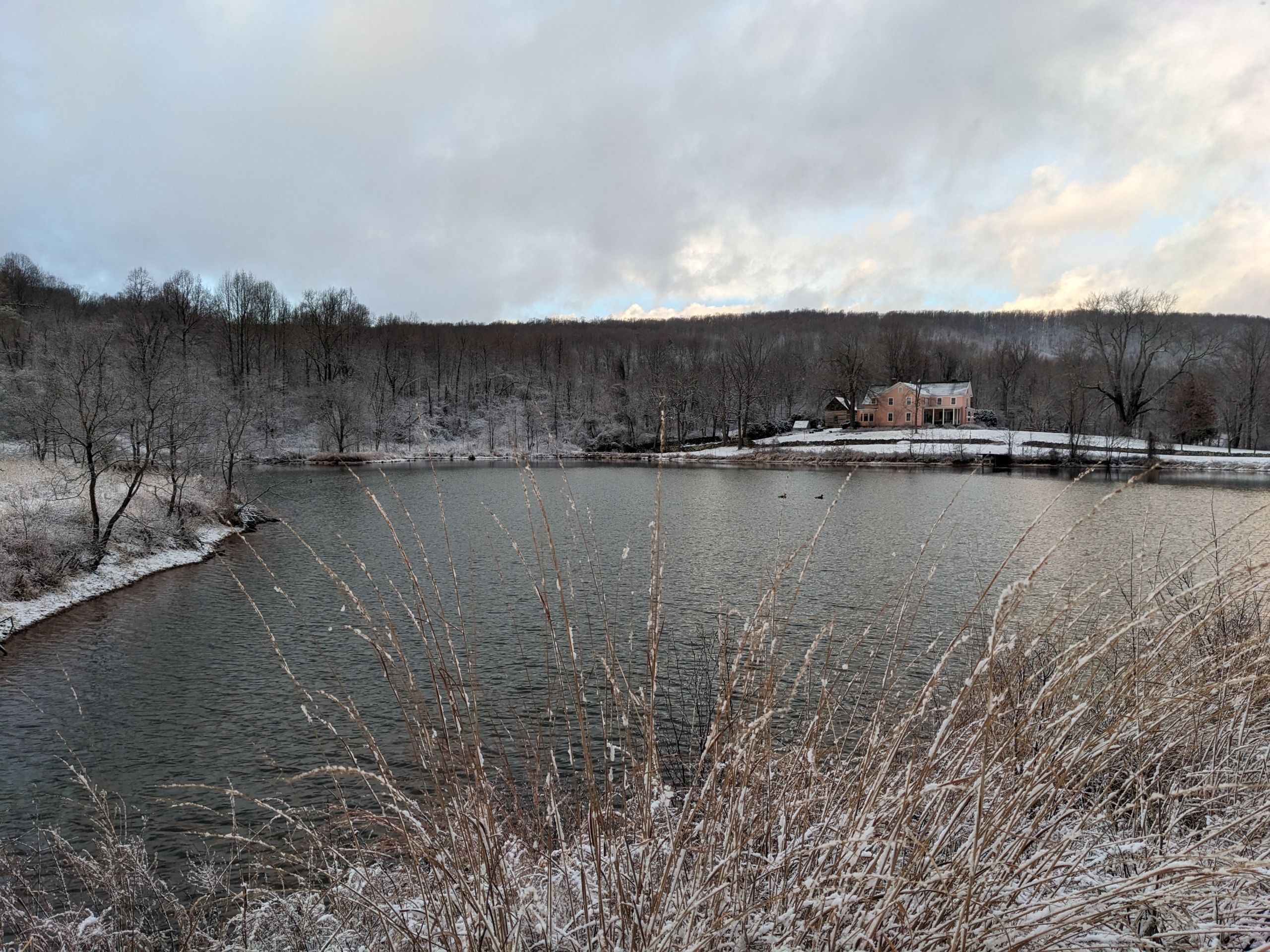
It’s been a few days since our first big snowstorm in a couple of years. We ended up with somewhere around 8 inches that arrived in two distinct waves of precipitation over the course of 24 hours. By now the original snowpack has melted, recrystallized, sublimed, compacted, and drifted in the wind so that we are left with an uneven 3 or so inches that still covers the entire landscape.
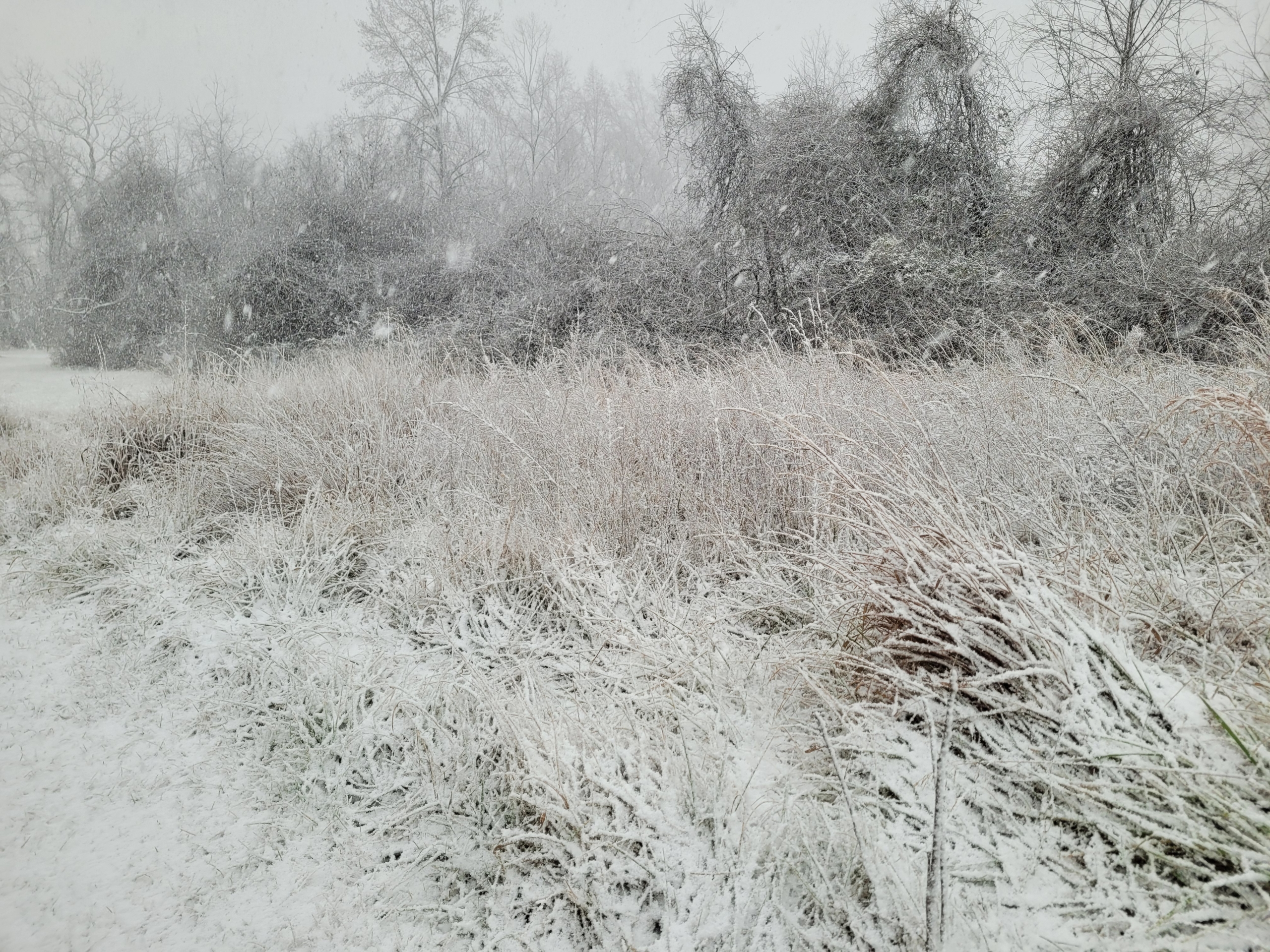
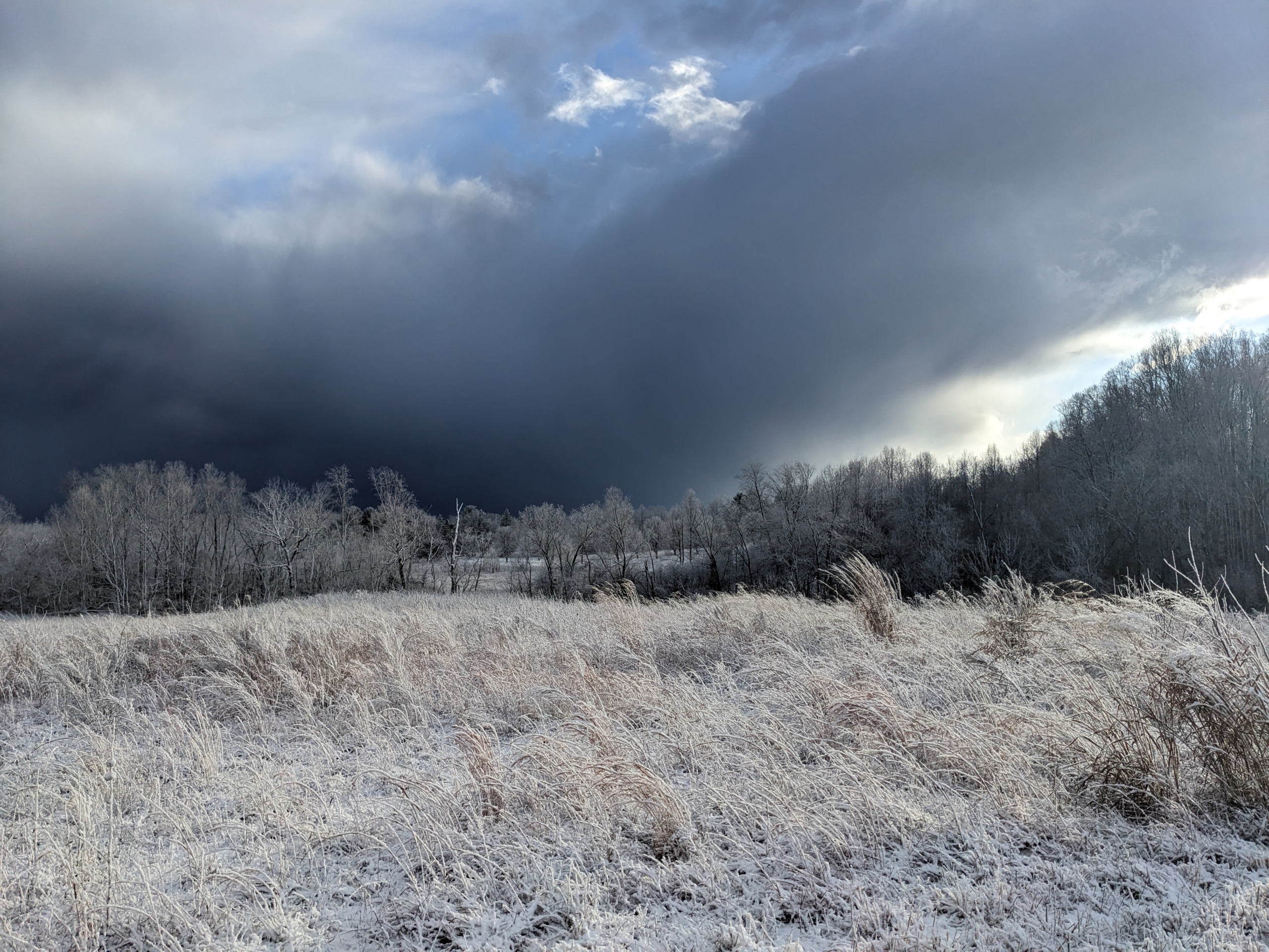
Despite the excitement of this latest storm, I would like to turn everyone’s attention to the brief but incredible blast of winter that occurred two days prior to the big storm. Friday, January 3rd began as a partly to mostly sunny day. It was cold early on, but the sun warmed up the ground throughout the day and by the afternoon ambient temperatures were well above freezing. I was out on the Big Hickory Trail scouting for the all-day hike the next day, sweating in my jacket, when the sky suddenly grew quite dark. Were we about to get a repeat of the highly anomalous severe thunderstorm event we saw on New Year’s Eve? Indeed, a sudden wind gust swept through as it might on a hot June afternoon in advance of summer storm. Instead of a warm rain, this gust front was bearing a burst of heavy snow. Soon the trees around me were obscured in the white-out and the ground was rapidly gathering a coating of little snow pellets called graupel. The graupel eventually gave way to a beautiful, fluffy, classic snow cascading out of the sky for about 30 minutes in which time we received a good inch and a half of accumulation.

This storm was what meteorologists refer to as a snow squall. That morning the NOAA forecast discussion stated that snow squall parameters were “off the charts” over the Allegheny Front in West Virginia. We now know that those parameters extended well east of there.
Like thunderstorms, snow squalls are a form of convection. Actually, if you were lucky enough to be in Prince William County on Friday, you were treated to one of the rare holy grails for weather enthusiasts, thundersnow! We just missed it here. Convection is the rapid and concentrated upward movement of air from near the surface to high in the atmosphere with subsequent downward movement nearby to balance things out. It indicates that there is a sharp difference in temperature between the relatively warm surface and cold upper atmosphere. This unstable situation can be caused either by moving a bunch of very cold air over top of warmer air or heating the air at the surface. Both things were occurring on Friday afternoon, so convection is what we got.
The type of cloud produced by convection is a cumulonimbus. These are tall clouds with frozen tops that are on the order of a few miles wide, a few miles high (much taller in the summer than winter), and they tend to occur in groups. Snowflakes form in convective clouds and then they get blown around inside the cloud by all the vertical air currents. As they swirl around, supercooled liquid droplets collide with the snow crystals and freeze onto the surface. Eventually they get covered in a frosty crust called rime ice. If you have climbed a tall mountain during the winter, you have probably seen objects covered in thick layers of rime ice from colliding with supercooled cloud droplets in the wind. When enough rime ice collects on a snowflake, it gets heavy and falls to the ground as a little pellet of graupel. Graupel is an indication of convective clouds. These same processes also occur in summer thunderstorms but the air at the bottom of the cloud is warm and melts the frozen precipitation.

Convection typically causes heavy precipitation, but it also doesn’t last long. After the Squall on Friday the sun came out and illuminated the freshly frosted landscape. This was immediately followed by another squall, then more sun. Such is the pattern that convective events tend to follow. Bursts of rising air with sinking air in between.
If you look at the temperature graph from the Clifton weather station for last Friday you can see that the temperature starts out quite cold, in the low 20s. After the sun comes up, the temperature climbs to a comfortable 42 degrees. The dewpoint also rises but not by as much indicating that the air is dry. Then around 3pm the temperature plummets but the dewpoint spikes briefly. This is the big snow squall. The dry air is what helped keep the snow from melting as it fell into 42-degree air. As water evaporates from the surface of the falling snow pellets or flakes, they cool down from the same process that cools you in the summer when you sweat. Eventually this cools the surrounding air and the temperature under the cloud drops. The creation of cold, dense air descending out of the cloud is also what causes the sudden wind gusts in convective events (indicated here by the even steeper drop in “feels like” temperature or wind chill). The spike in dewpoint is caused by the addition of water vapor to the atmosphere from the snow.


